
Gutter Company in Lakeland, FL
Lakeland has over 38 named lakes within city limits — and proximity to those lakes changes the drainage equation for properties within one to three blocks of the waterline. Rising wet-season lake levels elevate the water table in adjacent neighborhoods, slow percolation, and constrain how downspout water can be discharged. We account for lake proximity, Lakeland Ridge soil conditions, and I-4 corridor commercial drainage loads before specifying anything.
Lake Proximity Changes Drainage Planning for Properties Within 1–3 Blocks of Lakeland’s Named Lakes
When wet-season lake levels rise, the water table in adjacent neighborhoods rises with them — slowing percolation and increasing the time downspout discharge sits in contact with foundation edges. Lakefront and near-lake properties also face discharge direction constraints: water routed toward the lake surface can violate local stormwater ordinances. Both conditions require discharge planning that standard grade-level elbows don’t address.
Why 38 Lakes Within City Limits Change the Drainage Planning Equation for Lakeland Homes
Lakeland is named for its lakes, and the relationship between those lakes and the surrounding residential drainage environment is more consequential than the live page’s single “lakefront humidity” mention suggests. Over 38 named lakes sit within city limits — Lake Hollingsworth, Lake Morton, Lake Mirror, Lake Parker, Scott Lake, Lake Gibson, Lake Bonny, Lake Hunter, Lake Wire, and dozens more — distributed across the city in a pattern that means a large proportion of Lakeland’s residential properties sit within one to three blocks of standing water.
The drainage consequence is specific and consistent: during the June through September wet season, as rainfall accumulates faster than it evaporates, lake levels rise. As lake levels rise, the water table in adjacent properties rises with them — the soil column between the surface and saturation narrows from perhaps three feet in May to 12 to 18 inches in August on near-lake lots. In this condition, grade-level downspout discharge that percolated away from the foundation efficiently in June sits in contact with the slab edge for progressively longer periods as the wet season advances. By peak wet season, properties within one to three blocks of a major Lakeland lake can experience slab-edge saturation from routine storm discharge that wouldn’t occur on a ridge-top property with the same gutter system.
The second constraint is discharge direction. Lakefront properties and near-lake lots face an additional consideration: routing downspout water toward the lake surface introduces concentrated stormwater directly to the lake, which can conflict with local stormwater ordinances designed to protect Lakeland’s lake water quality. Correct discharge planning routes water away from the lake edge — toward the street, into a designed stormwater feature, or into a buried drainage system with an emitter at a regulated discharge point. On narrow lakefront lots, this constraint and the foundation-edge saturation concern must both be resolved simultaneously.
How the Lakeland Ridge Creates Two Distinct Drainage Conditions Within Five Miles of Each Other
The Lakeland Ridge is a north-south sandy highland running through central Polk County — the same topographic feature responsible for the lakes that exist on either side of it, where the ridge’s sandy soils transition to lower-permeability materials. Properties on or near the ridge itself — much of the Cleveland Heights area, the Southgate and Dixieland neighborhoods, and the higher ground east of US-98 — have some of the best-draining soils in the Precision Gutters service network. On ridge-top properties, grade-level downspout discharge percolates quickly, and standard downspout elbows are typically adequate for the discharge planning component of the installation.
Properties in the low-lying areas between lakes — in the Medulla area to the south, portions of north Lakeland near Lake Gibson, and the flatwood zones west of downtown along the Kathleen Road and Lake Parker corridors — sit on heavier clay-influenced soils with substantially lower percolation rates. On these lots, grade-level discharge from a downspout elbow creates the same surface pooling and slab-edge saturation pattern seen on the low-permeability soils of southwest Gainesville or south Tampa, even without the lake proximity variable adding to the water table elevation.
The key point is that the correct drainage answer differs significantly between a Cleveland Heights ridge-top property and a flatwood-zone property in Medulla, even though they are within five miles of each other and receive the same rainfall. We assess soil drainage conditions at each downspout discharge location during the estimate — not on a neighborhood-wide assumption — because the transition between fast-draining ridge soils and slow-draining flatwood soils happens within individual properties in some parts of Lakeland.
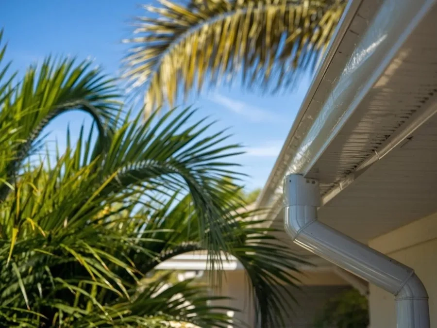
Why Lakeland’s Position at the Center of Florida’s Lightning Corridor Matters for Gutter Sizing
The Tampa–Lakeland–Orlando I-4 corridor is one of the highest-lightning-density zones in North America, and Lakeland sits at its approximate midpoint. The convective thunderstorm cells that build over the Florida peninsula during the June–September afternoon heating cycle concentrate here, producing storm events that deliver rainfall at 2 to 3 inches per hour at peak intensity, lasting 30 to 90 minutes before moving east or west along the corridor.
For gutter sizing, the critical figure is the peak-intensity rate rather than the annual total. A system that can handle the typical 2.5-inch-per-hour peak cell is correctly sized for Lakeland’s storm pattern; a system sized only for the average rainfall rate will overflow during every significant afternoon storm of the wet season. Most Lakeland residential rooflines require 5-inch K-style gutters with 3×4 downspouts at intervals no wider than 30 feet as a minimum. Rooflines with larger catchment areas — common on the South Lakeland, Kathleen, and Auburndale suburban growth homes built since 2000 — and hip-roof valley convergence points require 6-inch profiles and additional outlet placement at valley locations to handle the combined flow that peak-intensity I-4 corridor cells generate.
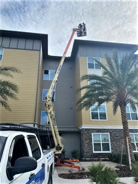
Why Lakeland’s Logistics and Warehouse Concentration Creates the Largest Commercial Drainage Load in the Network
Lakeland’s position at the midpoint of the I-4 corridor between Tampa and Orlando has made it one of Florida’s primary logistics and distribution hubs. The US-98, SR-33, and I-4 interchange areas around Lakeland host significant concentrations of distribution centers, warehouses, cold-storage facilities, and light manufacturing buildings — including some of the largest industrial rooflines in central Florida.
A large metal-roof distribution facility of 200,000 to 500,000 square feet generates roof drainage volumes that are orders of magnitude above residential scale. During a 3-inch-per-hour peak storm cell, such a building discharges dozens of gallons of water per second — a volume that requires commercial-grade box gutters or large-profile K-style systems, scupper integration where the roof drainage plan includes internal drains, and discharge systems capable of handling the full roof area without outlet concentration issues. We assess each commercial facility individually for catchment area, roof slope, drainage plan, and discharge requirements — residential gutter specifications applied to commercial-scale buildings undersize the system by a factor proportional to the roof area difference. More detail on commercial gutter configurations is available on our commercial gutter service page.
Four Drainage Failure Patterns Most Common on Lakeland Property Assessments
Lakeland’s lake network, soil variation, and housing stock mix produce specific recurring failure conditions. These four account for the large majority of what we find on initial assessments across Polk County.
Near-Lake Foundation Saturation
Properties within one to three blocks of Lake Hollingsworth, Lake Morton, Lake Parker, or Scott Lake experience elevated wet-season water tables that reduce percolation rates for grade-level downspout discharge. By August at peak wet season, discharge that sat in contact with the foundation for 15 minutes in June can sit for 60 to 90 minutes before infiltrating. Accumulated over 20 to 30 storm events per wet season, this creates the hydrostatic pressure cycling that causes slab joint separation and interior moisture intrusion.
Flatwood-Zone Clay Pooling
Properties in the Medulla, north Lakeland flatwood zones, and the low-lying areas between Lake Parker and Lake Gibson sit on clay-influenced soils that resist percolation independently of the lake-proximity water table effect. Standard grade-level discharge on these lots creates surface pooling within 10 to 15 minutes of a peak storm event — the same condition seen in southwest Gainesville and south Tampa — requiring underground drainage components to route water away from the foundation perimeter.
Historic Fascia Deterioration — Lake Morton & Dixieland
Lake Morton Historic District and Dixieland contain Lakeland’s oldest residential housing stock — 1910s through 1940s construction with original wood rafter-tail fascia exposed to Polk County humidity for 80 to 100 years. Original spike-and-ferrule hanger installations have loosened, and the wood behind gutters that are visibly separating has typically deteriorated beyond the visible failure span. Fascia replacement is a prerequisite to any new installation on these properties.
Valley Overflow on Suburban Growth Homes
Newer homes in South Lakeland, Auburndale, and Polk City suburban communities have large hip-roof configurations with multiple valley convergence points where builder-installed 5-inch sectional systems overflow during peak I-4 corridor storm cells. At valley points, the combined flow from two roof planes exceeds what the single-plane 5-inch profile was sized to handle. Sectional joint opening through thermal cycling compounds the problem on installations more than 7 to 10 years old.
Gutter and Drainage Services for Lakeland and Polk County
Each service addresses conditions specific to Lakeland’s lake network, soil variation, housing stock, or I-4 corridor commercial scale. We identify which services apply to your property during the free estimate.
Lakeland Neighborhoods and Communities We Serve
Lake proximity, soil type, housing age, and canopy density vary significantly across Lakeland’s neighborhoods. Each shapes the gutter specification, cleaning schedule, and drainage planning approach.
Schedule a Lakeland Estimate
We serve all Lakeland neighborhoods and Polk County communities including Auburndale, Winter Haven, Haines City, Lake Wales, Bartow, Mulberry, and Plant City. Every estimate includes a lake proximity assessment, a soil drainage evaluation at downspout discharge locations, and a fascia condition review on older properties.
Orlando Office:
4677 LB McLeod Rd, Ste. B, Orlando FL 32811
(407) 203-1144
How We Work in Lakeland and Polk County
Lake Proximity, Ridge Soil, and Commercial Scale — Three Variables No Standard Spec Addresses
Lakeland’s gutter market has three variables that don’t appear in most Central Florida installations. Lake proximity changes the wet-season water table on near-lake lots and constrains the direction of acceptable discharge. The Lakeland Ridge creates fast-draining soils on high ground and clay-influenced soils in low areas — sometimes within the same property, when a lot transitions from ridge to flatwood. And the I-4 corridor commercial concentration brings industrial-scale roof drainage loads that require commercial-profile systems and individual catchment area calculations.
Our estimate process for Lakeland properties begins by determining lake proximity — whether the property is within the one-to-three-block zone where wet-season water table elevation changes the discharge planning equation. We then assess the specific soil conditions at each downspout discharge location, which may differ across a single property depending on whether it sits on ridge-top sand or flatwood clay. For historic properties in Lake Morton and Dixieland, fascia condition assessment is a prerequisite to any hardware specification. For commercial properties along US-98 and I-4, we assess catchment area and drainage plan before providing any sizing recommendation.
We fabricate seamless gutters on-site from continuous aluminum coil stock — no pre-sectioned joints on long runs. Slope is calculated per run. The assessment conducted during the estimate travels directly to the installation crew without translation through a generic work order.
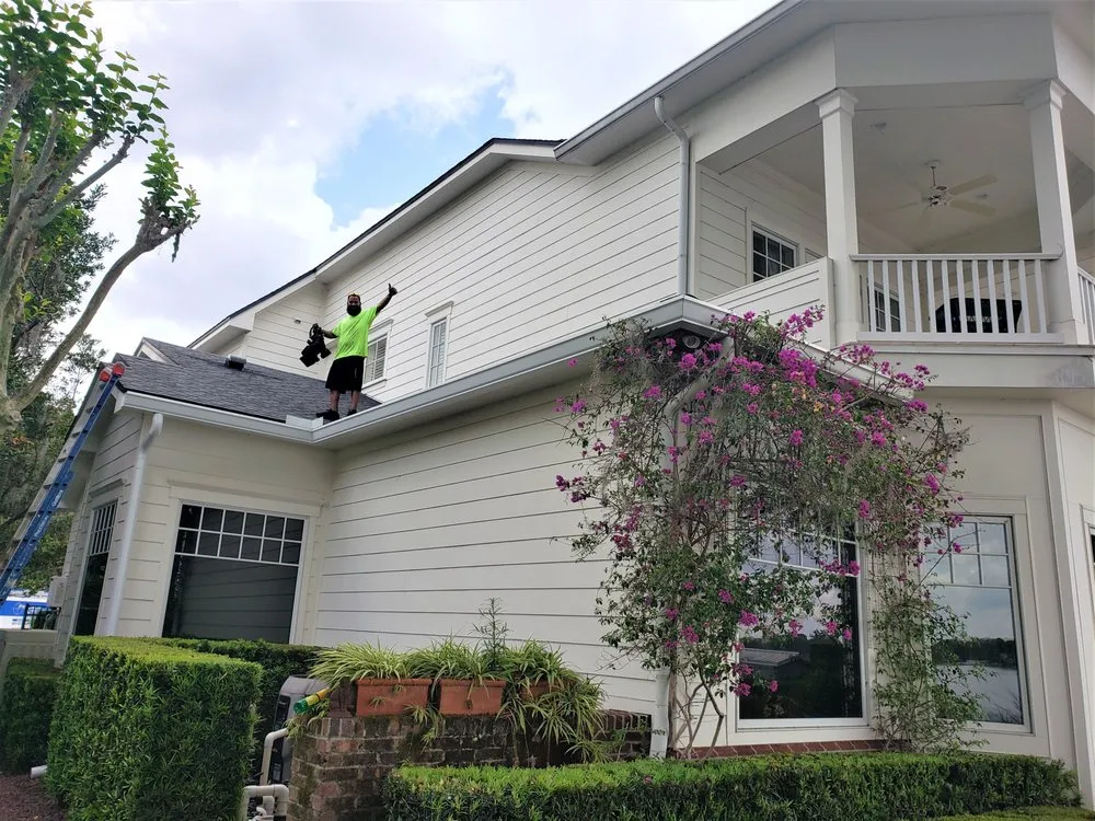
How We Work
From Estimate to Installation
Five steps between your free estimate and a correctly specified gutter system for your Lakeland or Polk County property.
Lake Proximity & Site Assessment
Lake distance from named water bodies, roofline measurement, fascia condition inspection, and canopy density evaluation for cleaning interval recommendation.
Soil Drainage Evaluation
Soil percolation conditions assessed at each downspout discharge location — ridge-top sandy soils vs. flatwood clay — to determine whether grade-level or underground discharge is correct.
Sizing & Spec
Gutter profile (5″ or 6″), downspout sizing, outlet placement calculated for actual catchment area and I-4 corridor peak storm intensity. Valley outlet additions specified for hip-roof suburban homes.
On-site Fabrication
Seamless gutters formed from continuous aluminum coil stock on the truck-mounted machine to your exact roofline dimensions — no pre-cut section joints.
Install & Flow Test
Gutters hung at calculated pitch, downspouts connected to discharge points (grade-level or underground as specified), water flow tested before the crew leaves.
Controlling Where Downspout Water Goes on Near-Lake and Low-Lying Lakeland Lots
On ridge-top Lakeland properties — Cleveland Heights, Southgate, and the high ground east of US-98 — standard grade-level downspout discharge typically percolates adequately through sandy ridge soils. Downspout elbows positioned to direct water away from the foundation edge perform well on these properties through most of wet season. Grade-level discharge is the correct starting point, and underground components are specified only where specific lot conditions create localized pooling problems.
On near-lake and flatwood-zone properties, the calculation changes. As detailed above, wet-season water table elevation on near-lake lots reduces percolation rates progressively through August and September — the months of peak wet-season storm frequency. On flatwood-clay lots, percolation is limited year-round. In both cases, underground drainage systems that capture downspout discharge and route it through buried pipe to a pop-up emitter at a controlled location are the technically correct solution. The emitter is positioned away from both the foundation edge and — on lakefront properties — the lake edge, at a location appropriate to local stormwater guidelines. More detail on system configurations is on our underground drainage page and downspout installation page.
Pop-up Emitter Runs
Buried pipe from downspout outlet to a pressure-activated emitter positioned away from both the foundation edge and, on lakefront lots, the lake shoreline — discharging to an appropriate regulated location.
French Drains
Perforated pipe systems for flatwood-zone clay properties — intercepting subsurface water movement and routing it past the clay layer to a controlled discharge point away from the foundation perimeter.
Catch Basins
Surface collection points for concentrated multi-downspout discharge — particularly relevant on near-lake lots where multiple downspouts from a larger roofline must be routed away from the lake edge simultaneously.
Valley Outlet Addition
Additional downspout outlets at hip-roof valley convergence points on South Lakeland and Auburndale suburban homes — addressing overflow that occurs when builder outlet spacing spec is applied to combined-flow valley locations.
Residential, Historic, and Commercial Gutter Systems in Polk County
Residential
Single-family homes from Lake Morton historic bungalows through South Lakeland suburban construction — lake proximity assessment and soil drainage evaluation on every estimate.
Lakefront & Near-Lake Properties
Properties adjacent to or within three blocks of Lakeland’s named lakes — discharge planning accounts for both lake-edge constraints and wet-season water table elevation.
Commercial & Industrial
Distribution centers, warehouses, and light industrial along I-4, US-98, and SR-33; retail and office throughout Lakeland; multifamily across Polk County.
What Lakeland and Polk County Customers Say
Professionalism
The first home repair team in a long time that did what they promised and on time. I would recommend Hank’s. We had a whole house gutter and downspout replacement after the March hail storm in 2023.

Highly Recommended!
Dealt with Precision Gutters on a complex custom project, fixing an issue caused by a bad contractor. They worked tirelessly with me and went over every detail to help me come up with the best solution.
Premium Quality
Very professional and on time installation highly recommend thank you for your service!
Knowledgeable
I contracted Precision Gutters LLC to do the drainage for the gutters. They are professional, punctual, great attitude, knowledgeable, respectful personally.
I highly recommend Precision Gutters LLC as a company & their skills workers. Every message I sent to the Sales Representative Marc Marchand was answered in a timely manner & to the point.
Gutter Installation, Repair, Cleaning, and Drainage in Lakeland
Frequently Asked Questions — Lakeland Gutter Services
How does living near one of Lakeland’s lakes affect gutter discharge planning?
Properties within one to three blocks of Lakeland’s major lakes face a specific drainage constraint. During the June through September wet season, lake levels rise as rainfall accumulates, and the water table in adjacent properties rises with them. On near-lake properties, grade-level downspout discharge that percolates quickly in June may sit in contact with the foundation for several hours per storm event by August. This creates a foundation-edge saturation pattern that accumulates across 20 to 30 storm events per wet season. Underground drainage systems that route discharge away from the foundation perimeter — and away from the lake edge, where direct discharge is environmentally constrained — are the correct solution for most near-lake Lakeland properties.
How does the Lakeland Ridge affect soil drainage across the city?
The Lakeland Ridge is a north-south sandy highland running through central Polk County. Properties on or near the ridge — Cleveland Heights, Southgate, and the higher ground east of US-98 — have some of the best-draining soils in the service network. Grade-level downspout discharge moves away from the foundation efficiently on these properties. Properties in the low-lying areas between lakes — Medulla, north Lakeland flatwood zones, and areas west of downtown near Lake Parker — have heavier clay-influenced soils with substantially lower percolation rates requiring underground drainage components. The correct discharge approach differs significantly between a ridge-top property in Cleveland Heights and a flatwood-zone property in Medulla, even though they are within five miles of each other.
Do Lake Morton Historic District homes need special assessment before installation?
Yes. The Lake Morton Historic District, Dixieland, and Cleveland Heights contain Lakeland’s oldest residential housing stock — 1910s through 1940s construction with original wood rafter-tail framing and wood fascia boards that have cycled through 80 to 100 years of Polk County humidity. By the time gutters on these homes begin visibly failing, the wood substrate behind them has typically deteriorated over a span wider than the visible separation point. We assess fascia condition as a prerequisite to any installation recommendation. Where fascia replacement is needed, we coordinate the scope before new hardware is specified. Copper gutters in historically appropriate profiles are available for qualifying properties in these neighborhoods.
How does Lakeland’s lightning corridor position affect gutter sizing?
The Tampa–Lakeland–Orlando I-4 corridor is one of the highest-lightning-density zones in North America, producing convective storm cells that deliver rainfall at 2 to 3 inches per hour at peak intensity. For gutter sizing, the critical figure is the peak-intensity rate. Most Lakeland residential rooflines require 5-inch K-style gutters with 3×4 downspouts at intervals no wider than 30 feet as a minimum. Rooflines with larger catchment areas — common on South Lakeland, Kathleen, and Auburndale suburban homes — and hip-roof valley convergence points require 6-inch profiles and additional outlet placement to handle the combined flow that peak-intensity I-4 corridor storm cells generate.
Are leaf guards effective for Lakeland homes with live oak canopy?
Micro-mesh leaf guards perform well on Lakeland properties with live oak and laurel oak canopy — the dominant debris-producing trees in Cleveland Heights, Lake Morton, and Lake Hollingsworth-adjacent neighborhoods. Live oak produces fine tassels, small leaves, and acorn caps year-round. Standard screen guards with 1/8-inch openings allow these debris types to pass through and accumulate at downspout inlets. Micro-mesh systems with 50-micron or finer openings exclude most live oak debris effectively. For near-lake properties where cleaning access is constrained by landscape features or dock infrastructure, guards that reduce cleaning frequency from two to one visit annually provide meaningful benefit.
Do newer homes in South Lakeland or Auburndale need gutter assessments?
Builder-installed gutter systems in South Lakeland, Auburndale, and Polk City suburban growth corridors are typically 5-inch sectional aluminum at minimum code specification. Homes in these communities range from 2,000 to 4,500 square feet with hip-roof configurations and valley convergence points that generate combined flow rates significantly above what a single-plane 5-inch calculation assumes. We assess valley point sizing, sectional joint condition, and downspout spacing before recommending repair or replacement. On flatwood-zone lots in these communities where clay-influenced soils reduce percolation, we also assess whether underground drainage components are needed.
How does discharge planning work for lakefront properties with restricted lake-edge discharge?
Lakefront properties adjacent to Lakeland’s named lakes face a specific constraint: routing downspout water toward the lake surface introduces concentrated stormwater directly to the lake, which can conflict with local stormwater ordinances. Correct discharge planning routes water away from the lake edge — toward the street, into a designed stormwater feature, or into a buried drainage system with a pop-up emitter at a regulated discharge point. On narrow lakefront lots where the structure is close to the water on one side and the street on the other, the downspout placement and discharge routing must account for both constraints simultaneously. We assess lakefront discharge conditions during the estimate.
What commercial drainage considerations apply to I-4 corridor properties near Lakeland?
The I-4 and US-98 corridors around Lakeland host significant concentrations of logistics, distribution, and light manufacturing facilities with large metal roof buildings. A 200,000-square-foot distribution center roof generates drainage volumes orders of magnitude above residential scale — requiring commercial-grade box gutters or large-profile K-style systems, scupper integration, and discharge systems capable of handling the full roof area. We assess each commercial facility individually for catchment area, roof slope, drainage plan, and discharge requirements. Residential gutter specifications applied to commercial-scale buildings undersize the system by a factor proportional to the roof area difference.
Stop Water Problems Before They Reach the Foundation
Lakeland’s 38-plus named lakes, the Lakeland Ridge soil transition between fast-draining ridge soils and clay-influenced flatwood zones, and the I-4 corridor’s industrial-scale commercial drainage loads each require gutter systems specified for the actual conditions at the property — not a standard Central Florida residential spec applied uniformly. Free estimates include a lake proximity assessment, a soil drainage evaluation at downspout discharge locations, and a fascia condition review on older properties.
Other Florida Locations